Nevis Valley
In this magnificent, remote valley, with its upper and lower sections separated by a gorge, one can still get a good impression of what a small Central Otago mining area would have been like 90 years ago.
The Nevis can be reached from Bannockburn by climbing to 1300m over Duffers Saddle on the Carrick Range and dropping down to The Crossing in the Lower Nevis Valley.
Both the Lower and Upper Valleys were worked using all the various mining methods including cradling and paddocking on small claims, sluicing, tunnelling and dredging, spanning a period from 1863 to the 1960s. There was even mining being carried out in the 1990s, and through the turn of the century. Leaflets describing the Nevis can be obtained from the Cromwell Information Centre.
The gold rush of the 1860s left few traces, but the hydraulic elevators and the six or more dredges which worked on the valley flats between the 1890s and early 1900s left behind most of the evidence which can be seen today. Many of the steep shingle faces, dredge ponds, long races and regular heaps of tailings are easily seen from the road. The remains, believed to be those of the Nevis Crossing dredge, lie near the mouth of Schoolhouse Creek. Because of the remoteness of this goldfield, these workings have been left largely untouched, and now provide the best representation of any of the original goldfields in Otago or Southland.
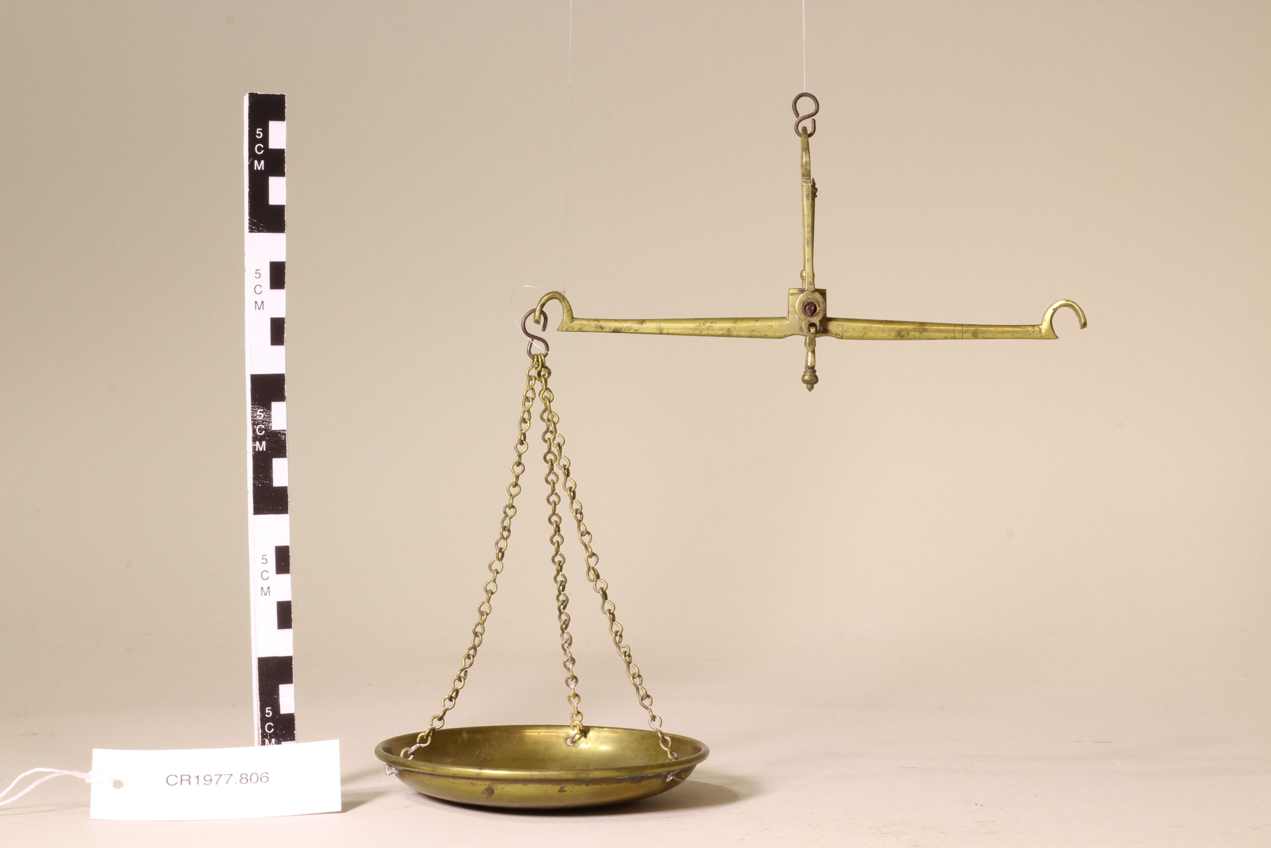
Arteffects from the Nevis are on view in the Cromwell Museum.
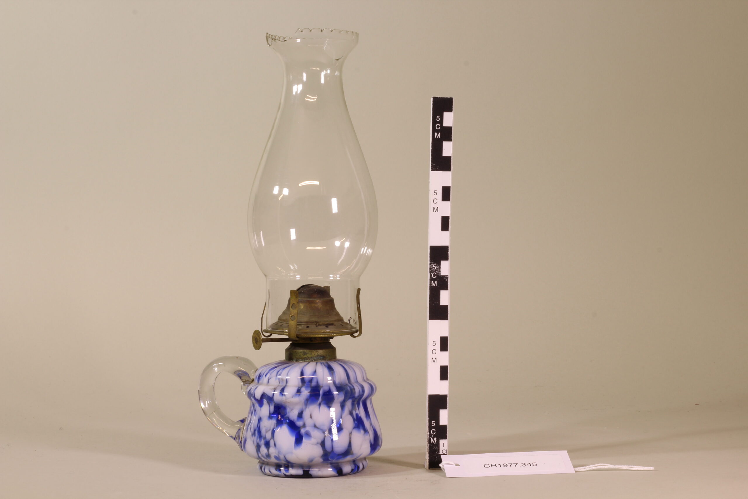
Lamp from Nevis Post Office
Leave a Reply
You must be logged in to post a comment.